
Railway stations in Benin: Difference between revisions
Content deleted Content added
m Spell UT => UN |
|||
| Line 4: | Line 4: | ||
* [http://www.unhcr.org/publ/PUBL/3dee2c330.pdf UNHCR Map] |
* [http://www.unhcr.org/publ/PUBL/3dee2c330.pdf UNHCR Map] |
||
* [http://www.lib.utexas.edu/maps/africa/benin_pol91.jpg |
* [http://www.lib.utexas.edu/maps/africa/benin_pol91.jpg UN Map] |
||
== Cities served by rail == |
== Cities served by rail == |
||
Revision as of 06:40, 8 March 2009
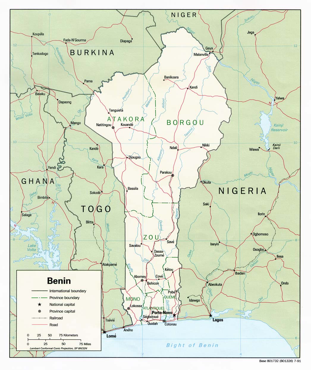
Railway stations in Benin include:
Maps
Cities served by rail
Existing
- Cotonou - port
- Porto Novo - national capital; cement factory
- Bohicon (179m)
- Dassa-Zoume (222m)
- Parakou (324m) - railhead in north
Non operational
- Pobé (39m) - branch railhead in east
- Ouidah (65m) - on line to west
- Segboroué (63m) - branch railhead in west.
Proposed
 Parakou (324m) - railhead in north
- Ndali (391m)
- Kandi (303m)
- Guéné (216m)
-
 border
 - Gaya (177m)
- Dosso
- Kollo
- Say, Niger (157m) - iron ore with 650MT of reserves.
- Niamey (207m)
Benin is a country that is bordered by Togo, Nigeria, and Niger
See also
References
- ^ The Times Atlas of the World 2007 p86